About LiDAR
Your Specialist Partner for LiDAR
Data Processing & Classification
At Vector Mapping, we specialise in
processing raw LiDAR point cloud datasets
into accurate, fully classified, and
analysis-ready deliverables that engineering
firms, utility operators, and survey
organisations depend on.
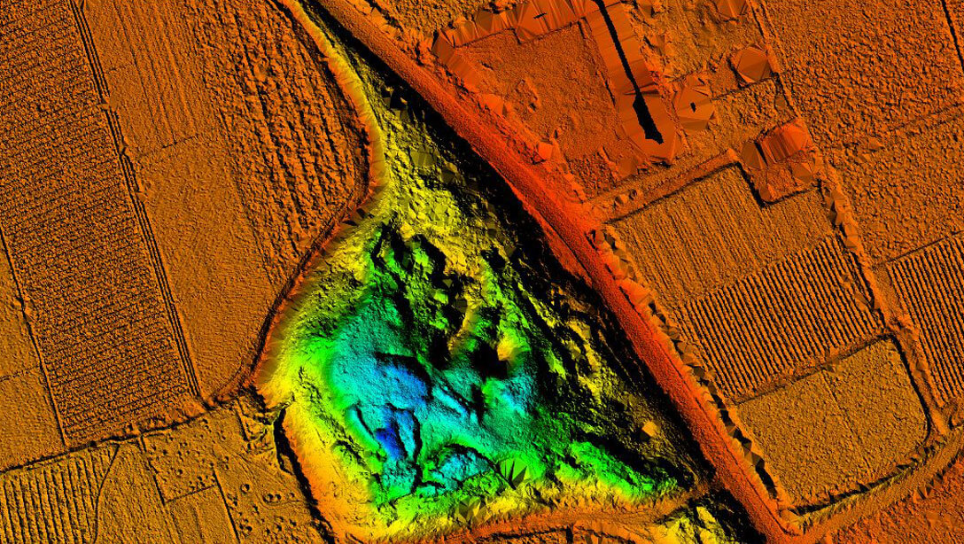
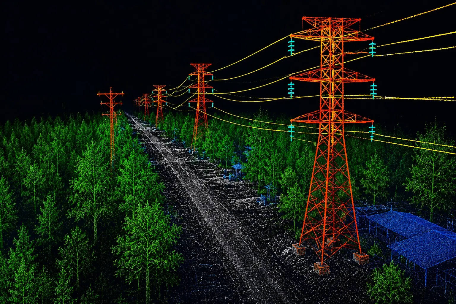
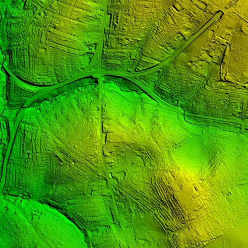
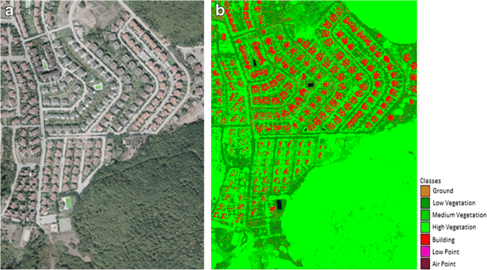
Our LiDAR processing capabilities span
ground classification, advanced multi-class
classification, powerline corridor analysis,
and terrain model generation — all processed
to sub-centimetre accuracy and delivered to
your exact project specifications.
We work exclusively as a back-end LiDAR
data processing partner — handling
client-supplied raw datasets and
transforming them into high-value outputs
including classified point clouds,
Digital Terrain Models, Digital Surface
Models, and corridor-specific deliverables.
Our AI-integrated classification workflows
accelerate processing timelines while
maintaining the precision tolerances
demanded by infrastructure and engineering
projects of any scale.