About Us
Vector Mapping is a specialist geospatial and mapping solutions company delivering precision spatial intelligence to infrastructure developers, engineering firms, utilities operators, and government authorities across the globe. With over 1,000,000 sq. km of geospatial data processed and mapped, we have built a reputation for accuracy, reliability, and technical excellence that our international clients depend on, project after project.
We work exclusively as a data processing and mapping partner, transforming raw geospatial datasets into high-value deliverables including GIS databases, LiDAR point clouds, photogrammetric models, mobile mapping outputs, and BIM-ready models. Our AI-integrated processing workflows ensure faster turnaround, higher consistency, and smarter outputs, making Vector Mapping the trusted back-end intelligence partner for geospatial projects of any scale, anywhere in the world.
Geospatial Data Used in Various Industries
To increase high levels of productivity, Vector Mapping provides point cloud classification and geospatial data services for various industries.
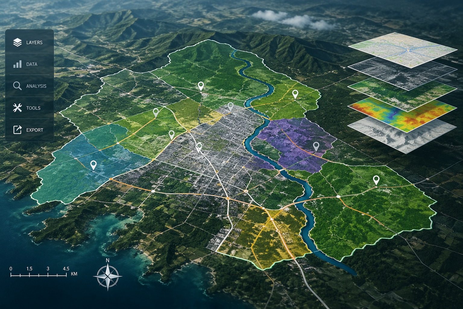
Smart City & Urban Development
Transport and Navigation
Irrigation, Water & Disaster Management
Defence & Security
Forest Management
Utilities (Power / Telecom / Water)
Infrastructure
Mining
Oil & GAS Pipelines
Flood Mapping
Environment
Highway & Road Survey
Land Cover Classification
Landslide Risk Assessment
Ready to map your next project?
Talk to our geospatial experts and get a tailored solution and competitive quote within 24 hours.