
Parcel Mapping & Digitisation
Precise digitisation of land parcel boundaries from aerial imagery, cadastral records, and survey data. Structured outputs are delivered for administrative, legal, and land management applications.
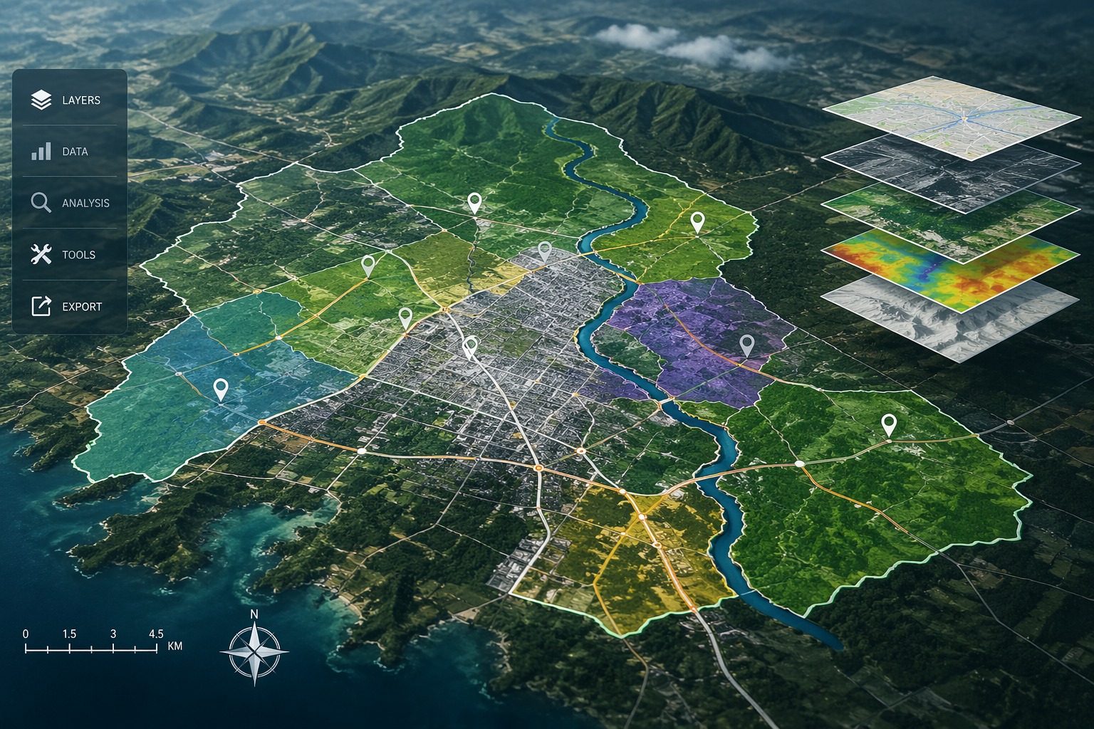
At Vector Mapping, we specialise in transforming complex, multi-source spatial datasets into precise, structured GIS deliverables that infrastructure developers, utility operators, and government authorities can act on with confidence. Our GIS processing capabilities span everything from large-scale road network mapping to AI-powered feature classification, all delivered to international geospatial standards.
We work as a dedicated back-end GIS processing and mapping partner. Whether you need a high-accuracy land boundary database, a utility network map, or a full-scale cadastral dataset, our experienced GIS analysts and remote sensing specialists ensure every deliverable meets your accuracy requirements, format specifications, and project timelines, every time.
End-to-end GIS mapping and data processing solutions built for accuracy, scale, and real-world application.
Precise digitisation of land parcel boundaries from aerial imagery, cadastral records, and survey data. Structured outputs are delivered for administrative, legal, and land management applications.
Electric, gas, and water spatial mapping and database creation of utility networks processed from client-supplied survey data and imagery.

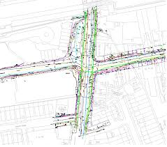
Spatial mapping of road networks and surrounding areas processed from supplied aerial and satellite imagery. Delivered as structured GIS layers ready for transport planning and network analysis.

AI-assisted detection and spatial mapping of road signage assets processed from supplied imagery and point cloud data. Delivered as a geo-referenced sign location and attribute database for asset management use.

Pavement surface condition classification and spatial mapping processed from client-supplied aerial and mobile imagery. Delivered as a geo-referenced condition rating database to support maintenance prioritisation and planning.
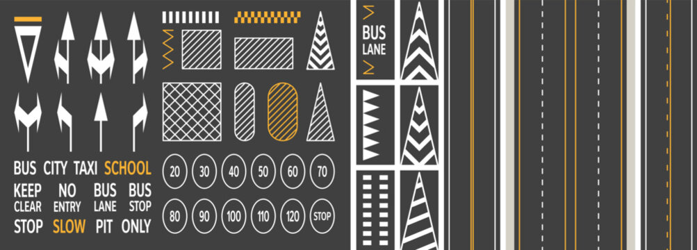
Detection and digitisation of road markings including lane lines, stop lines, and pedestrian crossings from supplied high-resolution imagery. Delivered as a structured spatial database for traffic management and road safety planning.

Spatial extraction and attribute database creation of street light assets processed from supplied point cloud and imagery data. Delivered in formats compatible with utility asset management and smart city platforms.

Classification and mapping of vegetation cover, encroachment zones, and tree canopy processed from supplied aerial imagery and LiDAR data. Delivered as classified spatial layers for environmental assessment and corridor management.
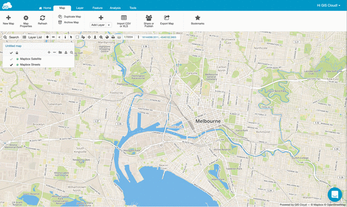
Spatial data preparation and web map service configuration processed from supplied GIS datasets and layers. Delivered as WMS, WFS, or tile services ready for integration into online platforms and internal GIS portals.
To increase high levels of productivity, Vector Mapping provides point cloud classification and geospatial data services for various industries.

Frequently Asked Questions
Talk to our geospatial experts and get a tailored solution and competitive quote within 24 hours.